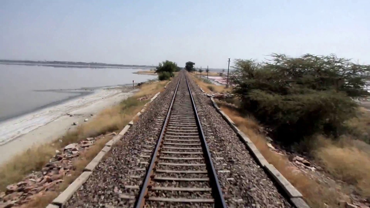

When we were on Rly route from Jaipur to Jodhapur a co-passenger asked me to look the laying Salt Lake spreading both sides. Looking to my eagerness, he briefed me. What he briefed, it is as follow-
 The Sambhar Salt Lake is India's largest inland salt lake. It is located approx. 100 km South-West of the Jaipur. It surrounds the historical Sambhar Lake town.
The lake receives water from an endorheic basin(geographically separated landlocked river basin area) of 5700 sq.km catchment area. The lake is an extensive saline wetland with water depth fluctuating from as few as 60 cm during the dry season to about 300 cm at the end of the monsoon season. It occupies an area of 200 to 250 sq km based on the season.
The lake is elliptically shaped with a length of approx. 35 km and a breath of 3 to 11 km. The lake straddles Nagaur and Jaipur Dist. and borders on the Ajmer Dist. The circumference of the lake is 100 km and is surrounded by the Aravali hills on all the sides.

 The Sambar lake basin is divided by a 5 km long dam of sandstone. After the salt water reaches a certain concentration, it is reals ed from the West side to the East side by lifting dam gates. To the East of the dam are salt evoporation ponds where all salt has been farmed for a thousand years. This Eastern area is 80 sq. km and comprises salt reservoire, canals and salt pans separeted by narrow ridges. To the East of the dam is also a rail track built by the British to provide access from Sambhar Lake city to the salt work
The water is fed into the lake from streams from the rivers Mendh, Runpangarh, Khandel and Karian. The Mendh and Rupangarh are main streams. The Mendh folws from South to North and the Rupangarh flows from North to South.

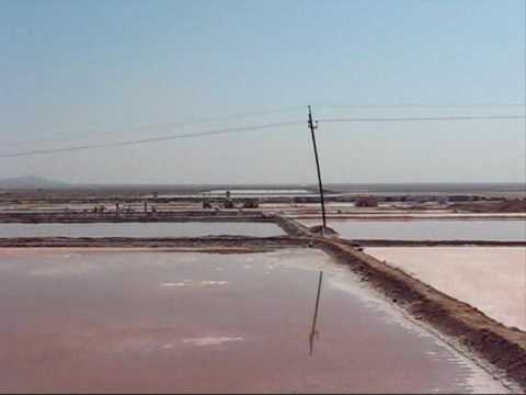 Sambhar salt lake is India's largest saline lake and is the source of the most of the Rajsthaqn's salt production. It produces 200, 000 T of clean salt every year which is around 9% of India's salt productiion. Salt is produced by evoperation of brine and is mostly managed by Shambar Salt Ltd, a joint venture of the Hindustan Salts Ltd and the state government.
The salt concentration in this lake water differs from season to season, accordingly the color of the Brine ranges from green, orange, pink, purple pink, red due to the bloom of haloalkaliphilic micro organism.
No comments:
Post a Comment